Blog Layout

Validating Landslide Reports

Isabel Hahn • Jul 25, 2023

Validating Landslide Reports in The Field


Our research team consisting of Katherine, Isabel, and Jayden have taken up the crucial task of validating the landslide reports sent in by our dedicated volunteers. With unwavering commitment, we have amassed a significant dataset, totaling approximately 70 landslide reports from  Wexford, Wicklow, and Dublin. These invaluable reports have been steadily pouring in since the 1st of June, empowering us to gain deeper insights into the occurrences and patterns of landslides in these areas.


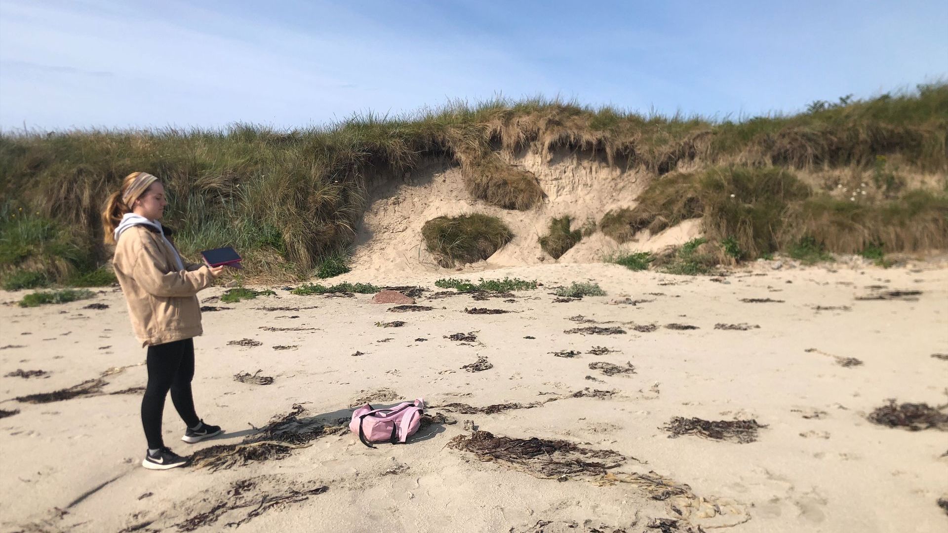
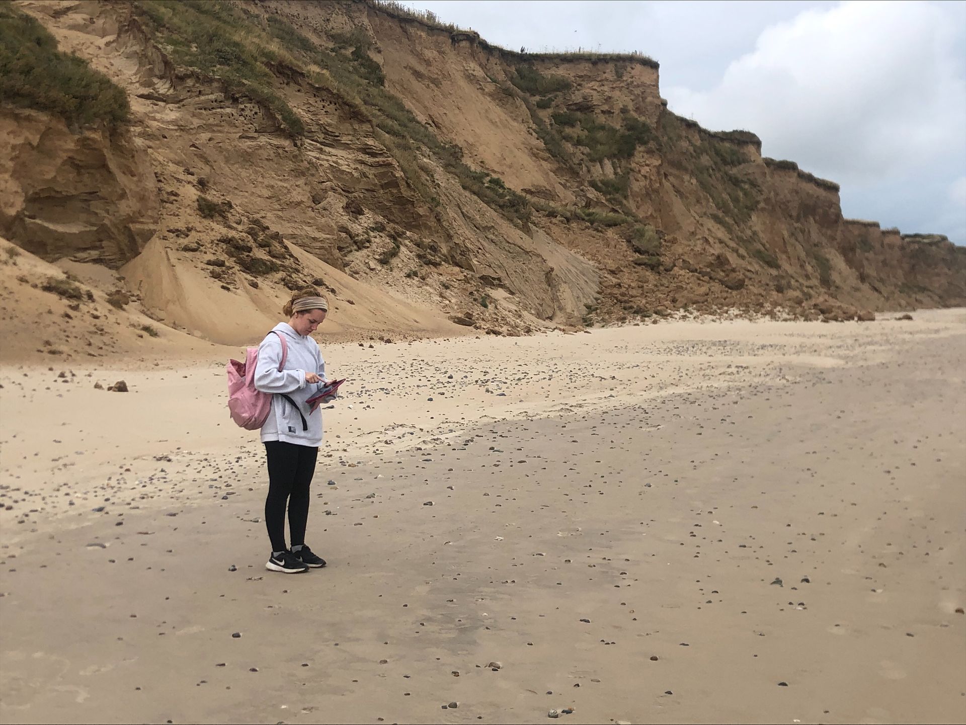
Understanding the Process of Validating Landslides


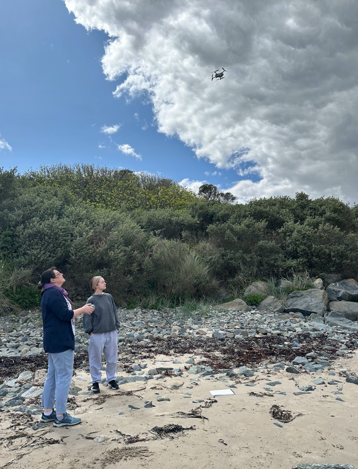
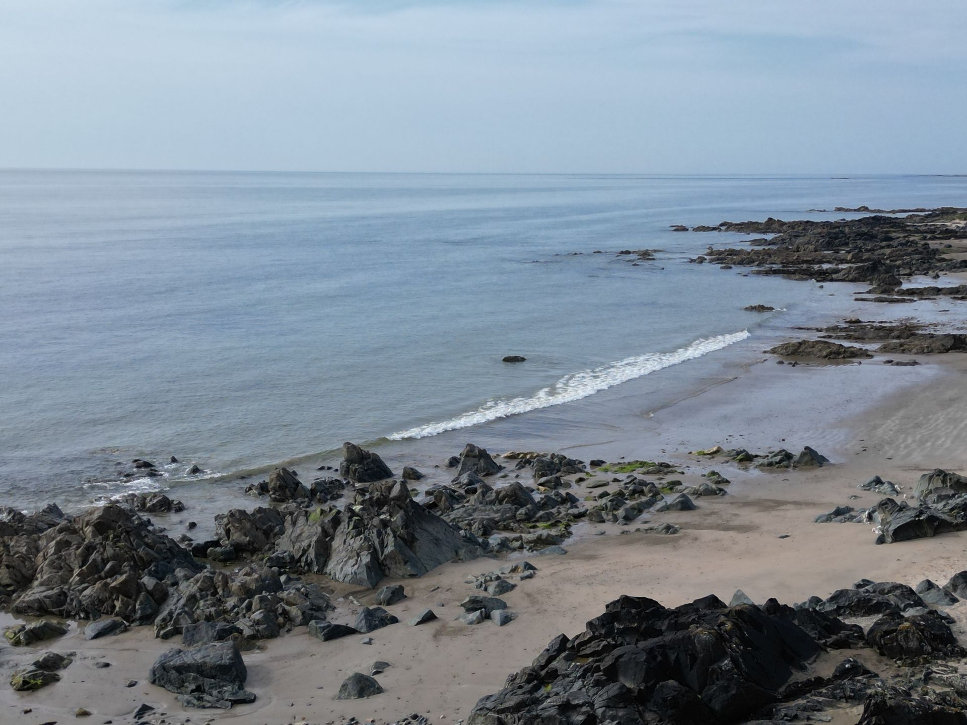
In our pursuit to comprehend the concept of validating landslides, we rely on photos submitted by volunteers. By carefully reviewing drone videos of the area, we determine whether the landslide occurred recently or in the past. If it's an older event (before June), we conduct an on-site verification and record the details for our database. Similarly, for new landslides, we promptly visit the location, verify the occurrence, and classify it accordingly. Through this process, we contribute valuable data to the scientific community, shedding light on the characteristics and patterns of landslides. 


On the 27th of July, Katherine and Isabel are scheduled to validate landslides in Dublin. To streamline the process, they will be employing a drone to efficiently verify several landslide reports along the cliffs in Howth. 


A Grateful Thank You from the ACCOMPLISH Team!


We want to express our sincere appreciation to all the volunteers who have actively engaged with us and submitted landslide pictures to us. Your contributions are incredibly valuable and will significantly contribute to raising awareness about coastal landslides in Ireland. With your support, we can make a real difference in this important endeavor. Thank you for being an essential part of the ACCOMPLISH team!


By looka_production_104331934 29 Aug, 2023
In- Person Focus Group
By Isabel Hahn 07 Jul, 2023
Weather plays a crucial role in our lives, from planning outdoor activities to triggering landslides. Weather stations are an important element of the ACCOMPLISH project, which focuses on increasing the reporting of coastal landslides in Ireland. These weather monitoring stations provide valuable data that can contribute to understanding and mitigating the risks associated with coastal landslides. In this blog, we will explore the functions of weather stations and discuss why they are indispensable in a project like Accomplish. What are Weather Stations? Weather stations are devices or network instruments designed to measure and record atmospheric conditions without the intervention of humans. These stations collect data on various weather parameters, including temperature, humidity, air pressure, wind speed and direction, precipitation, and more (Susmitha and Sowmyabala, 2014). The ACCOMPLISH Project currently has nine weather stations installed throughout Wexford, Wicklow and Dublin that collect data on an hourly basis. All of the weather stations are located on volunteer property and will be left in place once the pilot monitoring period is completed.
By Isabel Hahn 18 Jun, 2023
More Than 305 Landslides Were Caused by the Latest Floods in Italy
By Isabel Hahn 13 Jun, 2023
This blog is about the fieldwork that the research assistants took on.
Share by: